The Law of the Sea
Esther Kokmeijer has put the text of the law of the sea of UNCLOS, more specifically the section on deep sea mining that was added in '94, on a porcelain sheet to indicate that you have to take good care of it. Porcelain is strong but the sheet is so fine that it is also easy to break, which reflects the fragility of the agreements, if you break them, it is irreversible.
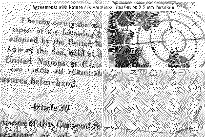
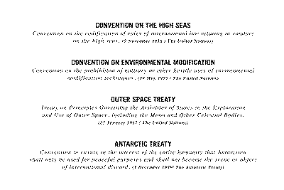
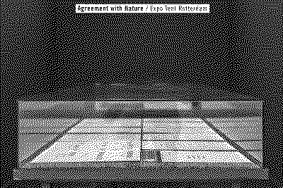
Agreement with Nature - Esther Kokmeijer
3 items
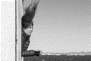
Pacific seafarers developed indigenous navigational techniques to voyage between islands relying primarily on the sun, stars and winds. One of the least and last understood navigation traditions comes from the Marshall Islands of Micronesia, where navigators remotely sense land by detecting how islands disrupt swells. The ‘navigators’ use elaborate mental representations of space, embodied knowledge of the ocean and voyaging strategies. Basically they could ‘read’ the waves. This knowledge was recorded in stick charts: schematic sea charts in which sticks indicate patterns of swell, currents and waves around the islands. The charts were used as a tool to transfer knowledge, and not necessarily as an orientation tool at sea because wave navigators rely on their senses for orientation.
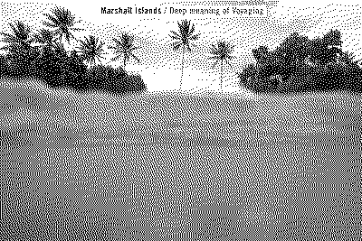
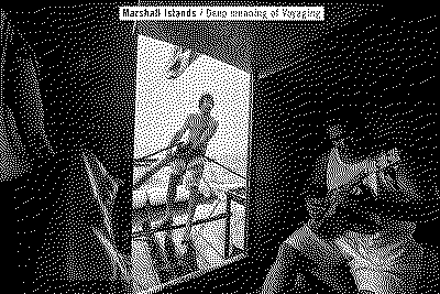
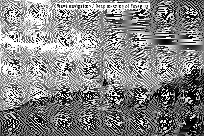


Deep Meaning of Voyaging - Esther Kokmeijer
7 items