Undo Enclosures
How can a license area for deepsea mining in the Clarion Clipperton Zone, CCZ, granted in 1974 to a US company, land decades later in the hands of Belgian dredging company DEME, which shares it with the Cook Islands? It is an intricacy of the governance of the common heritage of mankind that raises questions. Do enclosures of international waters last forever? But also: can we imagine tactics to undo enclosures and turn towards re-commoning?
This article was first published by Ocean Archive. Ocean Archive
During colonial times, when a surveyor planted his tripod on a spot and began taking measurements, local beings held their breath: why this measuring? Those who commissioned the survey would come and grab the place to explore for resources. They drove survey pegs into the soil and demarcated the enclosure. Next in the sequence of alienation came extraction.
Pegs may be handy onshore; in the ocean’s abyss, they’re useless. So, when an American company took possession of 60.000 km2 in the Pacific, it demarcated the ‘deposit’ (its own word) with nothing but coordinates. In a letter to Henry Kissinger, the US Secretary of State, the company said that it had ‘established the exclusive rights to mine the deposit’ and requested ‘the diplomatic protection of the US Government of its investments’. Signed Deepsea Ventures Inc. (DVI). The US Government did not fulfill DVI’s wish but did not thwart it either.
DVI was a subsidiary of the US oil company Tenneco that led Ocean Mining Associates (OMA), a consortium for deep-sea mining. Another member of OMA was Union Minière (UM), a Belgian company famous for mining in (colonial) Congo. OMA succeeded in digging up polymetallic nodules from its ‘deposit’ for the first time in 1978. A few years later, the world crisis slowed down the metals market. UM stepped back, but OMA carried on.
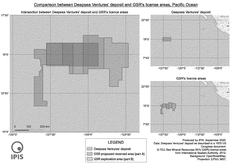
When DVI made its initial claim, the ocean was still a legal void. But the deep seabed had already been recognised by the UN as a Common Heritage of Humankind. The USA ignored this framework. In the context of the Cold War, the deposit’s metals could eventually serve its industry well. So, in 1984, the US authorities gave a license area to OMA. This area was known as USA-3. It completely overlapped DVI’s deposit, but it was bigger, as Illustration-1 shows: it measured “approximately 156.000 km2”. A big stake had thus been lifted out of the ocean commons and enlarged. One could, therefore, argue that the USA behaved as a fence of a stolen good.
This ‘hot’ asset did not remain in American hands. It ended up in Belgium, home to the original OMA-partner Union Minière. In 2013, Belgian company Global Sea Minerals Resources (GSR) received an exploration license from the International Seabed Authority (ISA) for a precisely named area in the Pacific. GSR’s application had been supported by Umicore (successor of Union Minière), which acted as GSR’s patron. The application explicitly mentioned USA-3 as the target area. Apparently, the ISA had never had a formal grip on this part of the ocean. The ‘deposit’ had been sliding down, as a private asset, through a genealogy from one private heir to another. And now, the time for extraction is ripe, with GSR at the forefront of deep-sea mining. It shares the license area with the island state of the Cook Islands, in accordance with ISA’s rules.
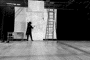
Enclosures are tools of ‘alienation’ and privatization. Communities, though, preserve what is dearest to them and prevent its seizure. They hide artifacts and sacred places, keep place names secret for intruders, transfer exclusive knowledge (e.g., celestial navigation) within restricted circles, and in wartime, the underground deviates signposts to confuse the enemy.
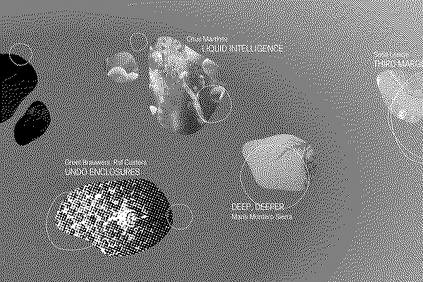
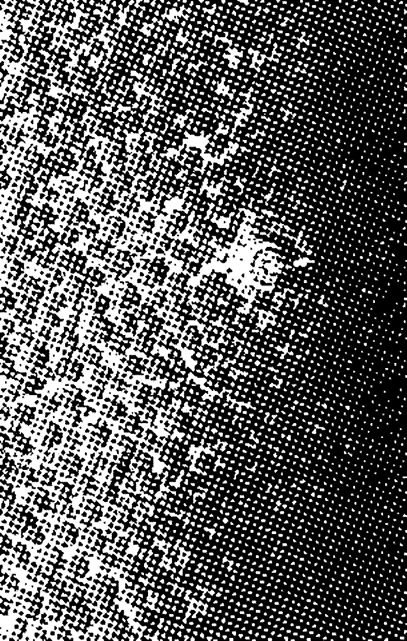
Alienation of land has always been met with resistance – on the ground – from the dispossessed. But how’s resistance on the sea? Warships have been painted with camouflage patterns. This dazzling technique was used to hide ships from enemy observation on the high seas. Could we apply this principle to the ocean and turn to the moiré effect, for example? This effect is reached when two identical images or patterns are superimposed but with a slightly twisted angle. Two combined grids of exploitation blocs would make an ocean moiré. Two identical photos of a seabed full of nodules would suggest a mesmerizing abundance, as Illustration-2 shows. Applied on the scale of one license area, it’d blur the demarcations of the concession and disturb operations. Applied on the scale of the Clarion Clipperton Zone in the Pacific, it’d create an international uproar.